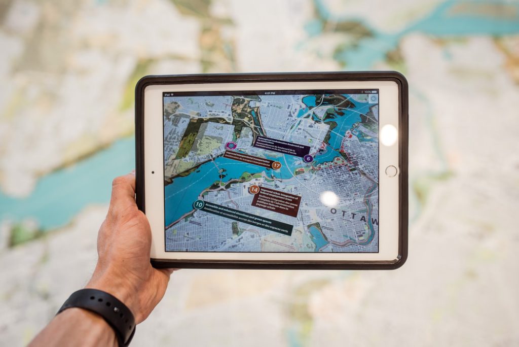
31 Best Apps for City Planners on the Go!
Urban planning is a dynamic field that can often take you out of the office, but you still need access to the tools of the

Urban planning is a dynamic field that can often take you out of the office, but you still need access to the tools of the
Have you ever wanted to import your 2D AutoCAD files into SketchUp only to encounter technical problems? Do you find the process to be tedious
Modelur has done it again! A brand new feature has been launched and we can’t wait to share it with you. Introducing the Massing Generator
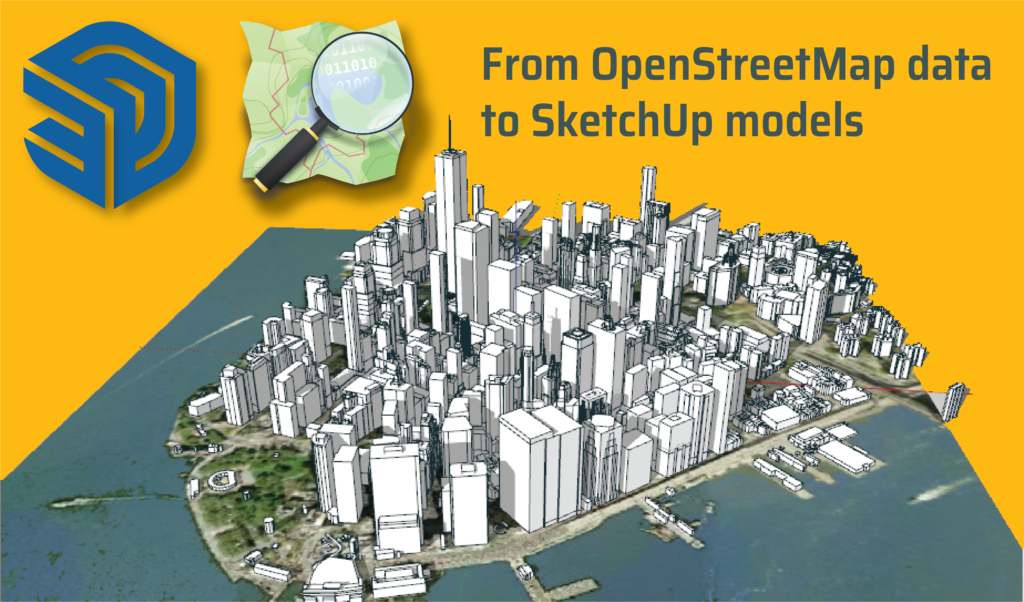
Adding local context to your sites is an important part of the urban design process as it helps understand how your design fits into the

Modelur4Rhino is an operation supported by Slovenian Centre for Creativity, Ministry of Culture and European Cohesion Fund. The aim of this operation is to develop

Is Artificial Intelligence the doom of the architecture profession and design services (as some warn) or a way to improve the overall design quality of the

Illustrations by: Mengxin Li, https://mengxinli.com/ One of the biggest autonomous cars manufacturer Tesla is creating all their newest cars with all the needed hardware for
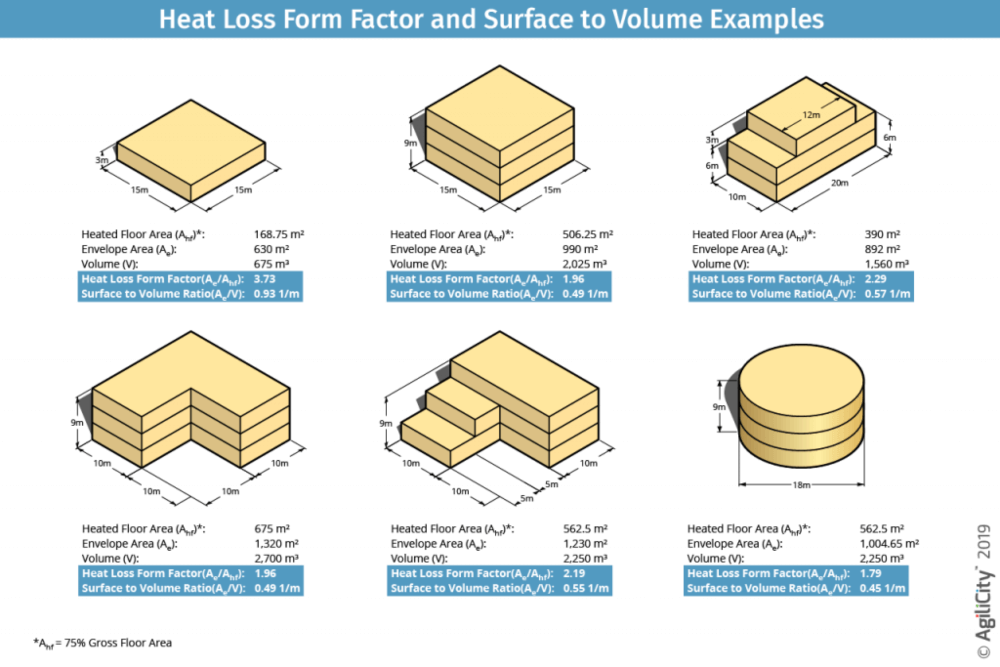
Energy efficiency of a building is important for several reasons. It determines the building’s value on the market. People prefer energy efficient buildings because they

On September 10th, Google launched an online tool that can estimate the carbon footprint of a city. The tool estimates carbon emissions from all the buildings and transportation

Private transportation companies gather a lot of data about transit patterns of citizens. This data could help local authorities shape good transportation policies. But once the data

The term ‘playable cities‘ describes an urban design approach that seeks to put playfulness and entertainment in outdoor daily life activities. Playing is especially important for children. Physical activity and brain
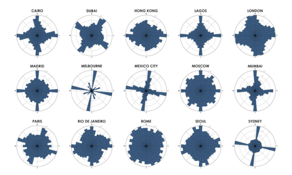
Geoff Boeing, Urban planning professor at Northeastern University, has developed a tool to visualize the consistency of a city’s street network. Boeing’s tool calculates what percentage of
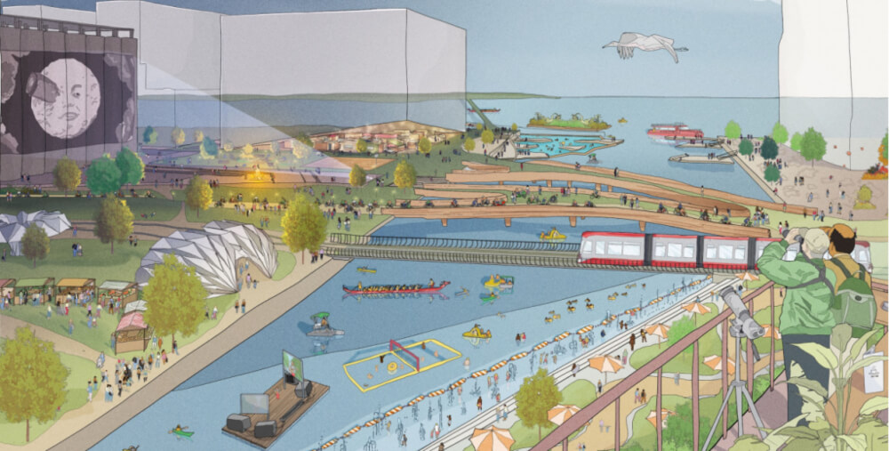
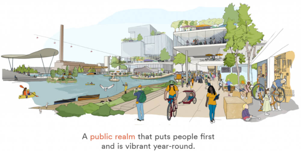
City of Toronto and Sidewalk Labs joined forces in October 2017 on a project called Sidewalk Toronto. The goal of the project is to create a
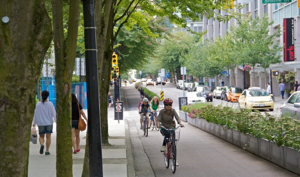
Over the last two decades, Vancouver has put a complete streets design principles into action and the city is already seeing the benefits. Complete streets design policy
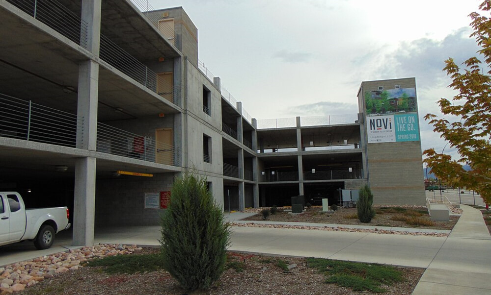
Increased use of autonomous ride-sharing cars is expected to reduce the need for parking spaces in the future. Therefore, it is wise to design today’s parking
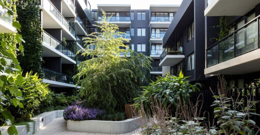
Two previously industrial areas in Sydney are undergoing enormous urban development. One area – Coal Loader Platform – became a public space for meeting, resting and
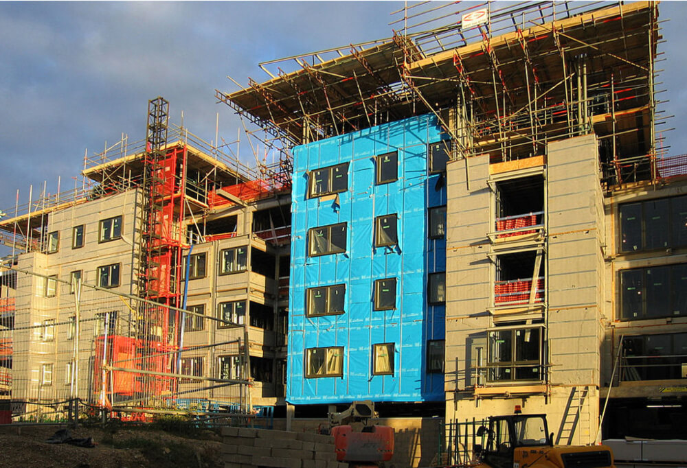
New eco-friendly, sustainable building materials have emerged to reduce the environmental impact of building construction and operations. To determine how eco-friendly a certain building material
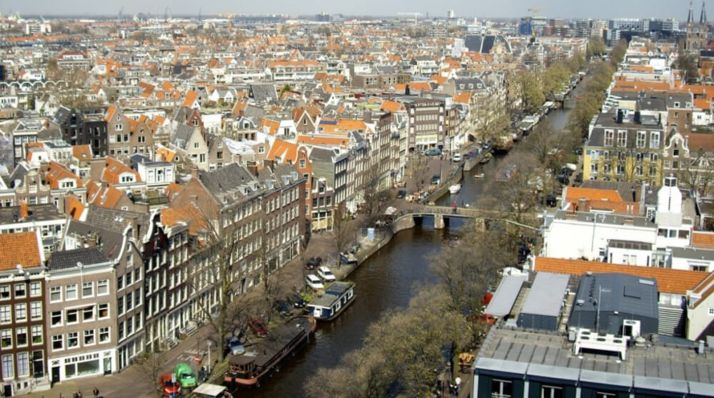
Urban planners today aim to create compact, transit-oriented urban landscapes. In his blog post, Michael Lewyn, assistant professor at Touro Law Center in Long Island, explains
In their study, PhD candidate Pinchao Zhang and assist. prof. Sean Qian show that the pattern of when electricity is used in households during the night can predict the start

Researchers at St. Louis University discovered that cities can be a place where bees thrive. That is good news because bees are endangered and we need them. Bees are vital

Today’s cities require complex urban plans that can be adapted quickly. Good software can ease the making and adapting of comprehensive plans. One such type
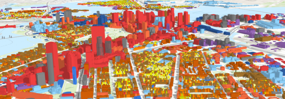
The Boston Planning & Development Agency (BPDA) wants to analyse the impact of proposed building projects on the surrounding area in the early stages of urban planning

Statistic shows that poor people generally have more health issues than wealthy people. However, a recent study by UC San Francisco has uncovered that the quality of a neighborhood where people live

The Trust for Public Land organization wants to ensure that every person in America has access to a park or natural area within 10-minute walk from home. To achieve this goal,

One of the motives to become an urban planning professional is to help create better living conditions for the people. An urban planner plans the land use

Cities are looking for ways to save energy and resources and to reduce pollution. Toronto, Seattle and San Francisco for example have developed a set of green building standards to
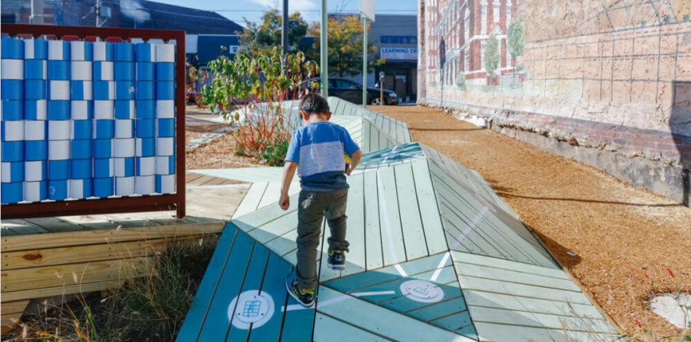
Research shows that playing – especially at an early age – helps children to develop their capabilities better. But children have less and less time to

Adaptive traffic control system (ATCS) is a traffic management strategy where the timing of traffic lights changes according to actual traffic demand. And the city of Aberdeen is among the
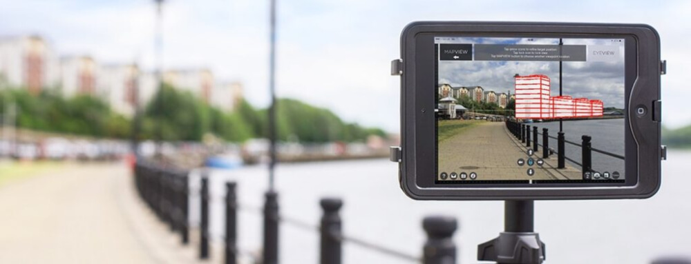
In the last years many new technologies emerged that help us make our daily lives easier. Could some of these technologies be used to help with
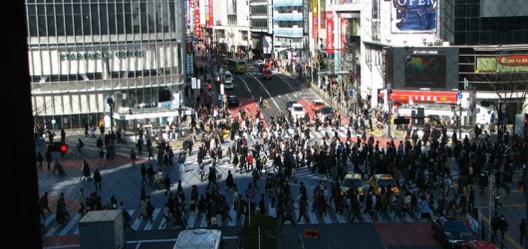
Cities should make the lives of their residents easier and better. Implementing changes that do not serve the citizens would be a mistake. That is
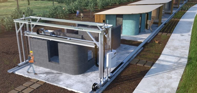
Construction companies have taken 3D printing technology to the next level. They have started using it to construct houses, offices, bridges and more. How will this new construction method

Minneapolis is updating it’s comprehensive plan. The update emphasizes energy efficient construction, housing density and reduction of car usage to help lower the city’s carbon footprint. One of the

The 3 day 2018 Smart Cities Connect conference hosted nearly 2,000 attendees from government, businesses and academia from all over the world. What are the most important lessons from
The March/April 2018 issue of MIT Technology Review magazine published a list of 10 technological breakthroughs it believes will make the most impact over the