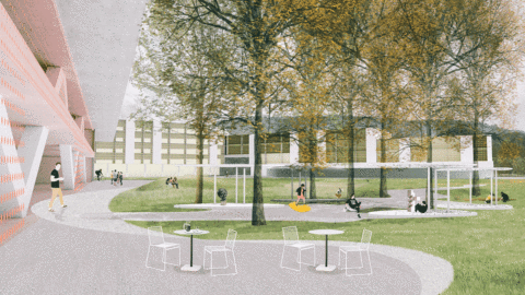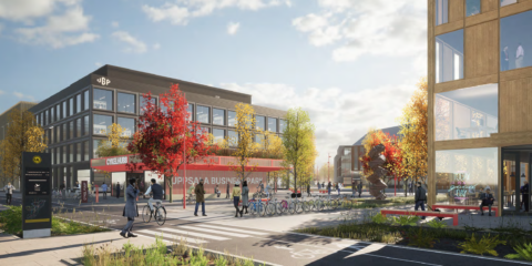
Uppsala Business Park & Parklife Trnava by Mandaworks
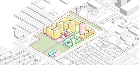
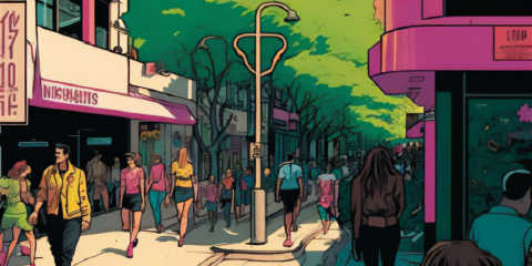
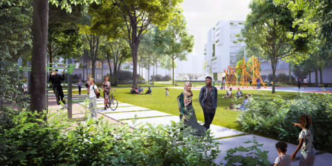
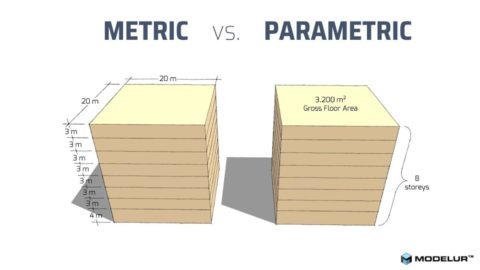
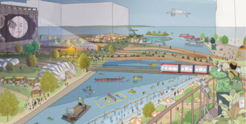
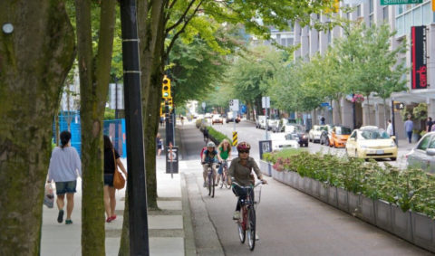
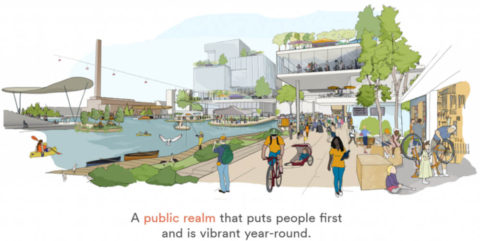
Sweden-based architecture and urban design office Mandaworks won competitions for Uppsala Business Park and Parklife Trnava, showcasing innovative urban design. In Uppsala, they integrated a life-science hub with the city, emphasizing growth and diverse land use. In Trnava, Parklife prioritized green infrastructure and community. Modelur’s parametric design helped them rapidly explore and optimize design options. Both projects focused on sustainable mobility and public spaces, reflecting Mandaworks’ commitment to create livable urban environments that enhance the life of their citizens.